All is calm right now across North Texas for this Wednesday night, however, that may not be the case for us here in North Texas Thursday evening.
A cold front is expected to move into North Texas tomorrow (Thursday), and we expect storms to begin to fire up and develop along this front by late afternoon Thursday. If storms are able to develop, there will be a good chance that they will become strong, if not severe. The highest risk will be for lightning with large hail and damaging winds being the next highest. There is a risk for flash flooding with a relatively LOW tornado risk. The best chance for strong to severe storms will be late in the day on Thursday.
A cold front is expected to move into North Texas tomorrow (Thursday), and we expect storms to begin to fire up and develop along this front by late afternoon Thursday. If storms are able to develop, there will be a good chance that they will become strong, if not severe. The highest risk will be for lightning with large hail and damaging winds being the next highest. There is a risk for flash flooding with a relatively LOW tornado risk. The best chance for strong to severe storms will be late in the day on Thursday.
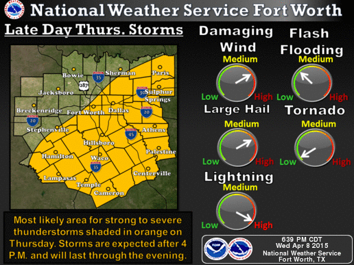
Late Thursday Hazards for 11-9-15 - Image Courtesy NWS Fort Worth
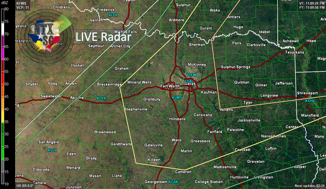 The Day 2 Convective Outlook Displayed on the NTXSC LIVE Doppler Radar
 Portions of North Texas will be in the "Enhanced" risk level tomorrow afternoon as of this evening, however this is NOT set in stone and this COULD change. The "Enhanced" risk area looks to only contain areas in NE Texas at this time, as represented by the area circled in "peach" color. Areas under this "Enhanced" risk as of tomorrow afternoon could possibly see the threat of larger hail and a few tornadoes.
Areas in North Texas not included in this "Enhanced" risk will be under a "Slight" risk, as represented by the area circled in Yellow. Again, this is NOT set in stone, and COULD change as well. Areas under this "Slight" risk as of tomorrow afternoon could possibly see the threat of large hail and isolated tornadoes CANNOT be ruled out.
Areas in North Texas not included in this "Enhanced" risk will be under a "Slight" risk, as represented by the area circled in Yellow. Again, this is NOT set in stone, and COULD change as well. Areas under this "Slight" risk as of tomorrow afternoon could possibly see the threat of large hail and isolated tornadoes CANNOT be ruled out.
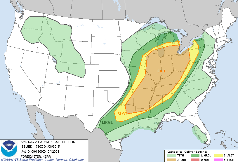
The Day 2 Convective Outlook from the SPC website.
There are still many uncertainties at this time for this event. Timing, threats, risks, risk levels, risk areas, outlooks etc. COULD change as we go through tonight and through the morning and day time hours tomorrow and continue to receive new data. Please stay tuned for updates tomorrow and tomorrow morning, and remember to BE WEATHER AWARE TOMORROW (THURSDAY) AFTERNOON AND EVENING.